
Eiger Trail Grindelwald A Complete Hiking Guide from Eigergletscher to Alpiglen
The Eiger Trail in Grindelwald is one of the most impressive hikes in the Bernese Oberland, Switzerland. The trail starts at Eigergletscher and follows the foot of the Eiger North Face down to Alpiglen, so you get surprisingly close to the mountain along the way. The approximately 6 km point-to-point hike takes around 2–3 hours and is considered moderately challenging, with most of the route leading downhill. It’s a great option if you want to hike in the Eiger area without spending the whole day on the trail.
Trail Overview
- Location: Grindelwald, Bernese Oberland, Switzerland
- Starting point: Eigergletscher
- Ending point: Alpiglen
- Distance: 6.0 km
- Duration: Around 2 h 30 min
- Difficulty: Moderate
- Suitable for children: Yes
- Minimum elevation: 1,616 m
- Maximum elevation: 2,348 m
- Elevation gain: 78 m
- Elevation loss: 779 m
- Best time to hike: July to mid-October. Check here the current trail information.
Eiger Trail Step-by-Step Guide
- Get to Grindelwald Terminal – Make your way to Grindelwald Terminal, where the Eiger Express departs for Eigergletscher.
- Take the Eiger Express to Eigergletscher – Ride the cable car from Grindelwald Terminal to Eigergletscher.
- Start the Eiger Trail at Eigergletscher – Follow the signs for the Eiger Trail towards Alpiglen.
- Follow the trail below the Eiger North Face – Continue along the marked trail as it gradually descends towards Alpiglen.
- Continue the descent to Alpiglen – The second part of the hike takes you further downhill towards the forest and Alpiglen.
- Finish the Eiger Trail at Alpiglen – The official trail ends near Alpiglen railway station.
- Take the train back from Alpiglen – From Alpiglen, continue by train towards Grindelwald.
How to Get to the Eiger Trail
Getting to Grindelwald
To reach the Eiger Trail, you’ll first need to get to Grindelwald Terminal, where the Eiger Express takes you up to Eigergletscher. Depending on where you’re coming from, you can get there by train or car.
By Train
If you’re travelling by train, the main connection is via Interlaken Ost, where you can take the Bernese Oberland Railway towards Grindelwald. For the Eiger Trail, you don’t actually need to continue all the way to Grindelwald village. Get off at Grindelwald Terminal, which is one stop before Grindelwald, as this is where the Eiger Express departs for Eigergletscher.
Trains from Interlaken Ost to Grindelwald run every 30 minutes throughout the day. Check the SBB website for current departure times and tickets.
Good to know: The train from Interlaken Ost is divided into two sections. The front part continues to Lauterbrunnen, while the rear part goes to Grindelwald. The destinations are clearly displayed on the outside of each carriage, so just make sure you board the correct section.
By Car
If you’re arriving by car, the most convenient option is to park directly at Grindelwald Terminal. There is a large parking garage next to the cable car station, so you can park and head straight to the Eiger Express. For current parking rates and availability, check the official Grindelwald Terminal parking information.
Parking address:
Parkhaus Grindelwald Terminal
Grundstrasse 54
3818 Grindelwald
46° 37′ 29″ N 008° 01′ 08″ E
From Grindelwald
If you’re already staying in Grindelwald, you’ll first need to make your way to Grindelwald Terminal to take the Eiger Express. The easiest option is to take the train from Grindelwald station to Grindelwald Terminal, which is just one stop away. You can also take a local bus, depending on where you’re staying. Check the SBB website for current train and bus connections.
Route Description
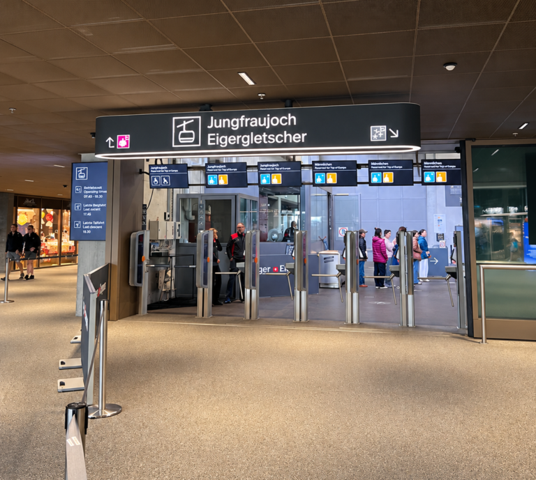
Take the modern Eiger Express gondola from Grindelwald Terminal to Eigergletscher. There are two gondola routes departing from the terminal, so make sure you follow the signs for Eigergletscher/Jungfraujoch and not Männlichen. The ride takes around 15 minutes and brings you directly to the starting point of the Eiger Trail.
A one-way ticket from Grindelwald Terminal to Eigergletscher start from CHF 40.60. For current ticket prices and available discounts, check the official Jungfrau website.
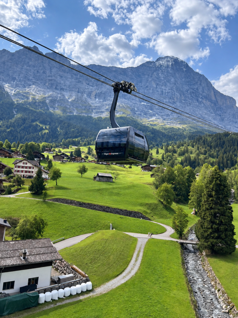
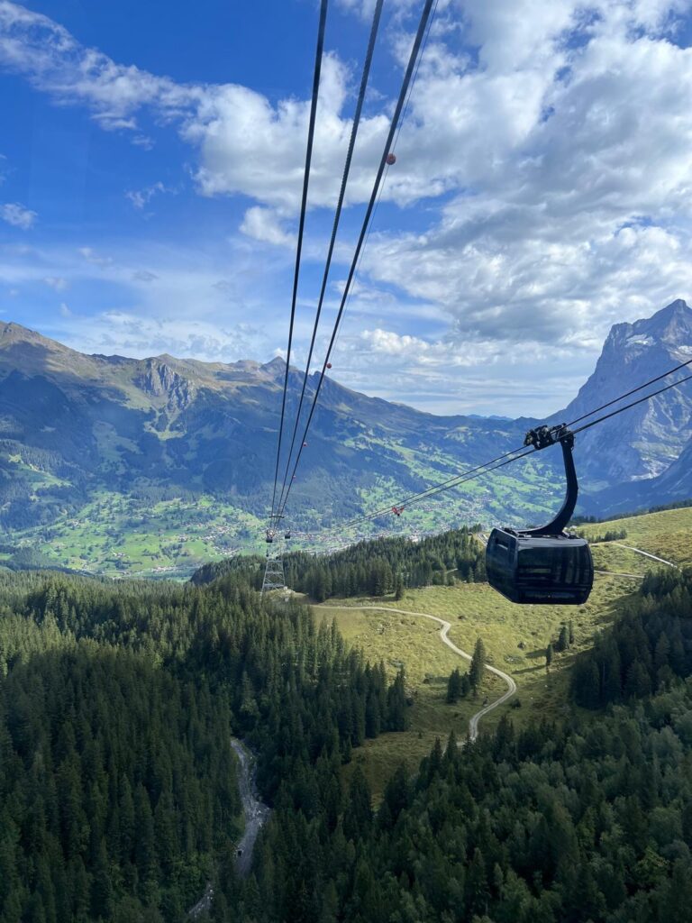
Enjoy the beautiful views along the way. The Eiger Express ride to Eigergletscher takes 15 minutes.
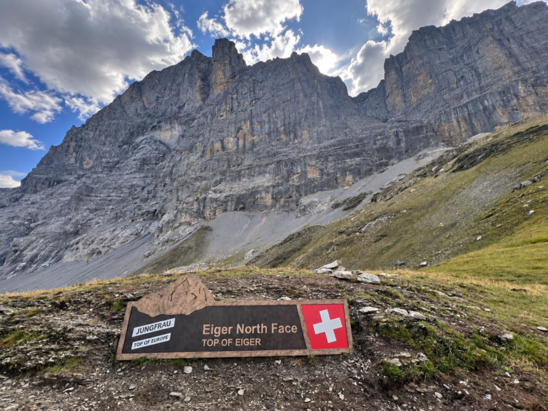
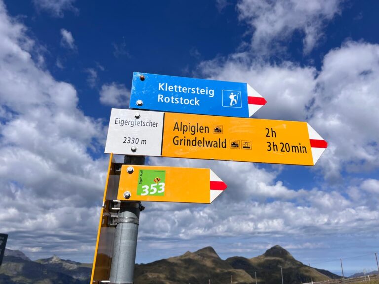
Once you get off the Eiger Express at Eigergletscher, exit the station and continue straight ahead. You’ll soon see the Eiger Trail sign shown below. Turn right at the sign and follow the trail towards Alpiglen.
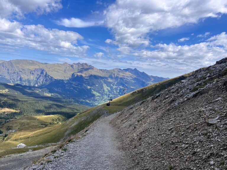
Take your time and enjoy the views along the trail. You’ll be walking right below the impressive Eiger North Face for much of the hike.
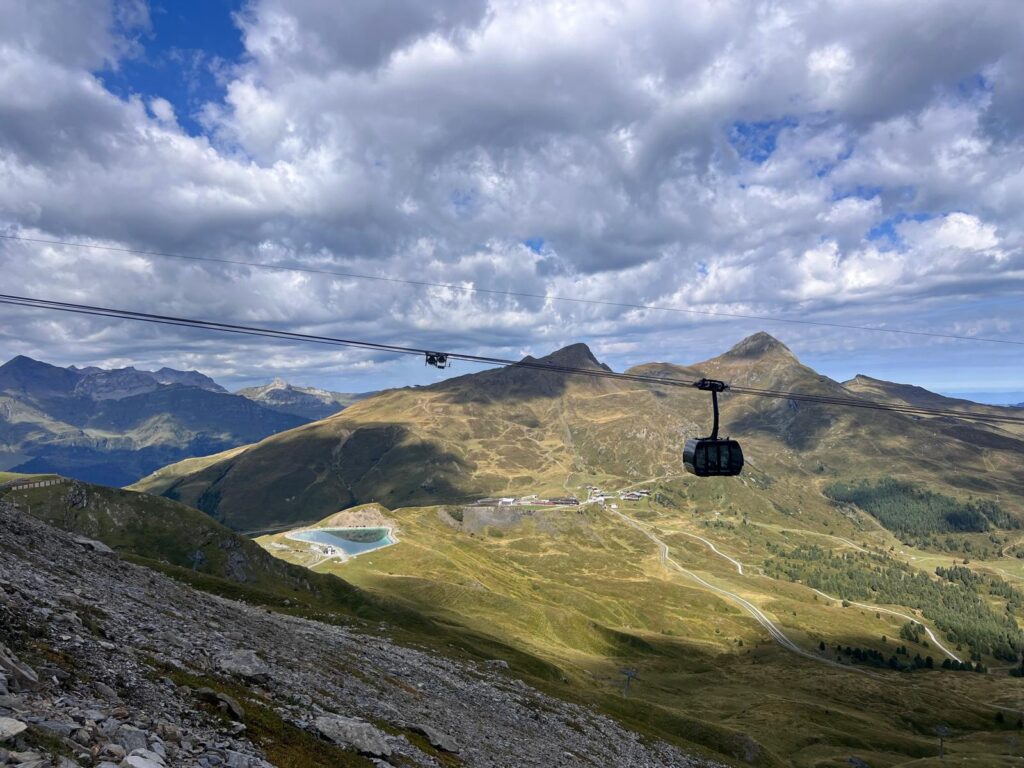
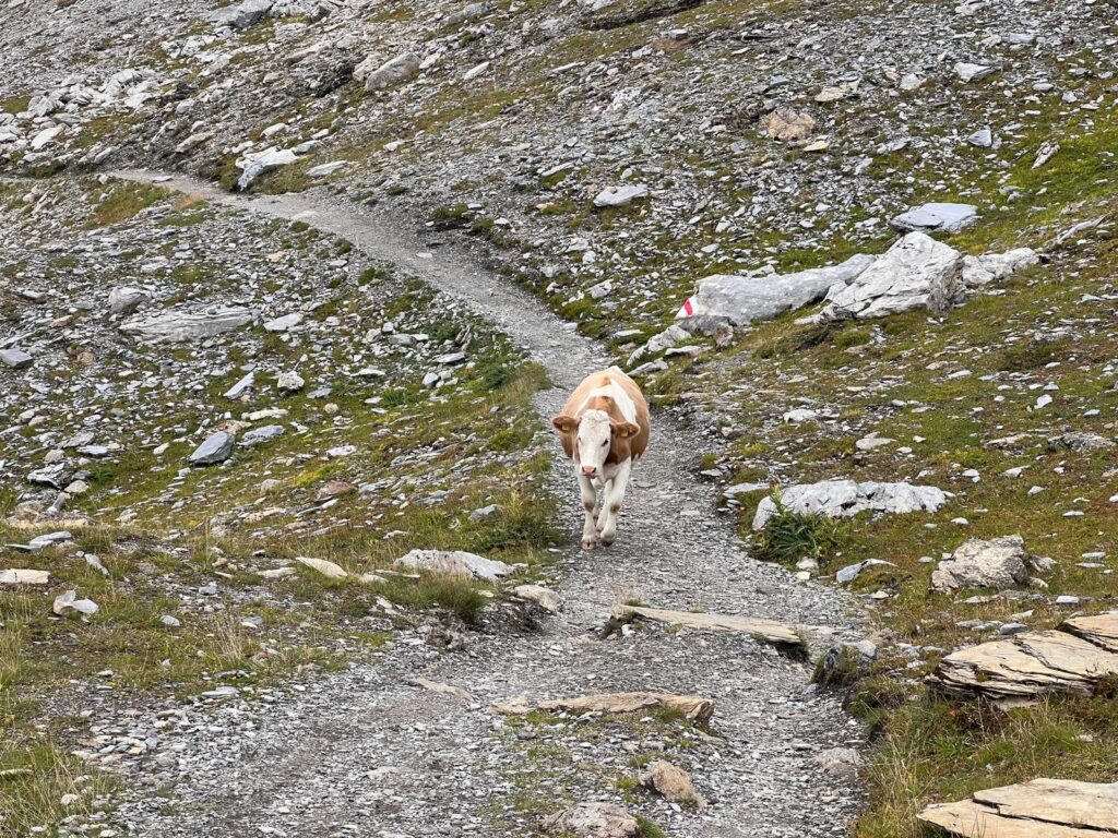
And what would a hike in the Swiss Alps be without a few cows along the way? Don’t be surprised if one decides to cross the trail right in front of you.
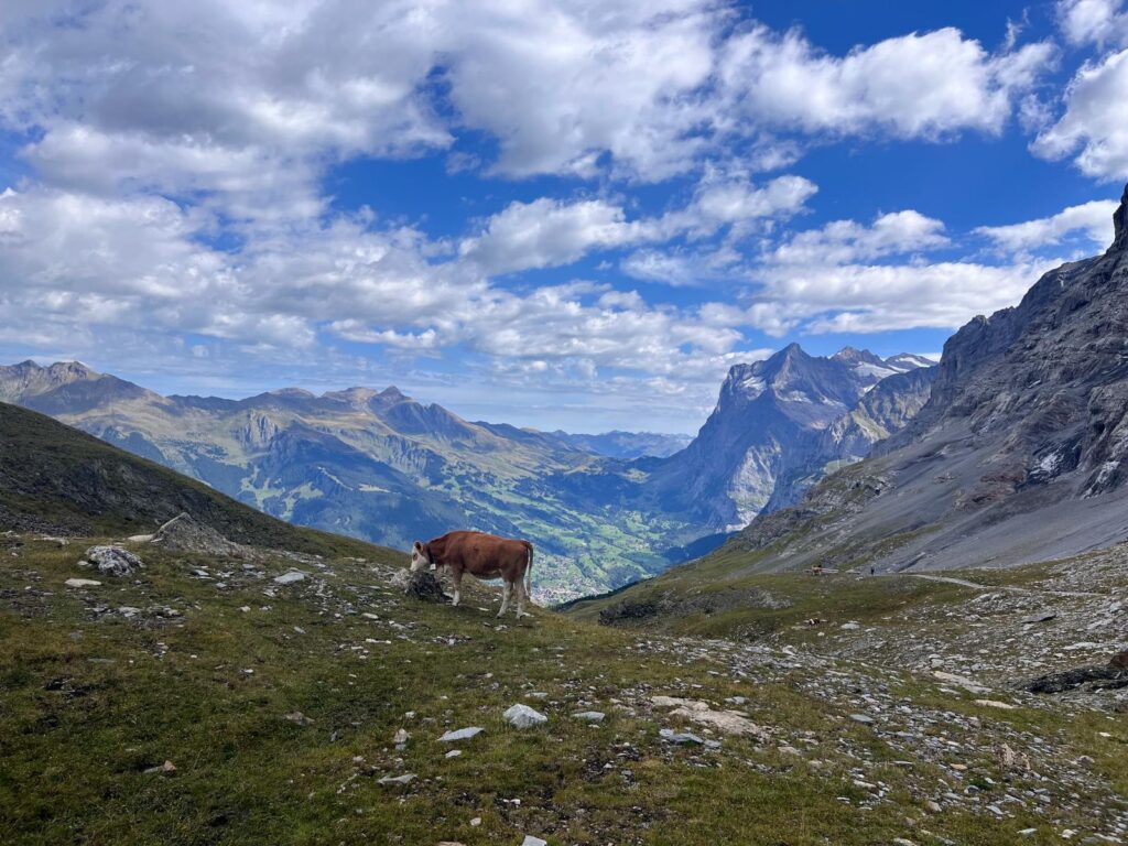
Sometimes you just have to let the locals go first. 🐄
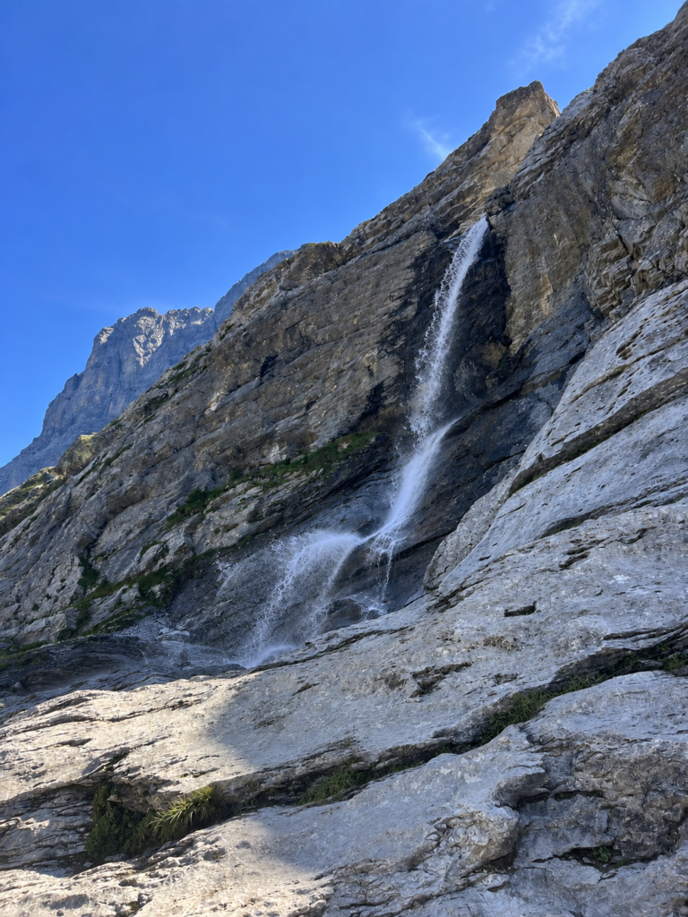
You’ll also pass this waterfall along the way.
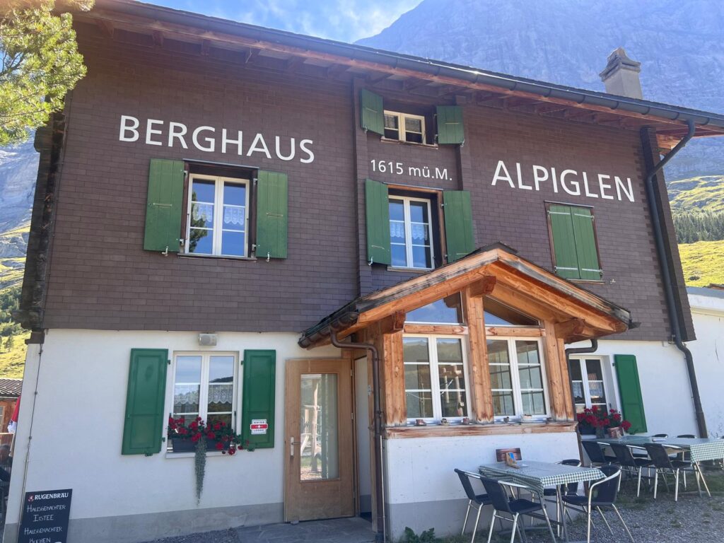
After around 2–3 hours of hiking, you’ll reach Berghaus Alpiglen, near the end of the Eiger Trail. It’s a great place to take a break after the hike, grab a coffee and try some local Swiss specialities while enjoying the mountain views.
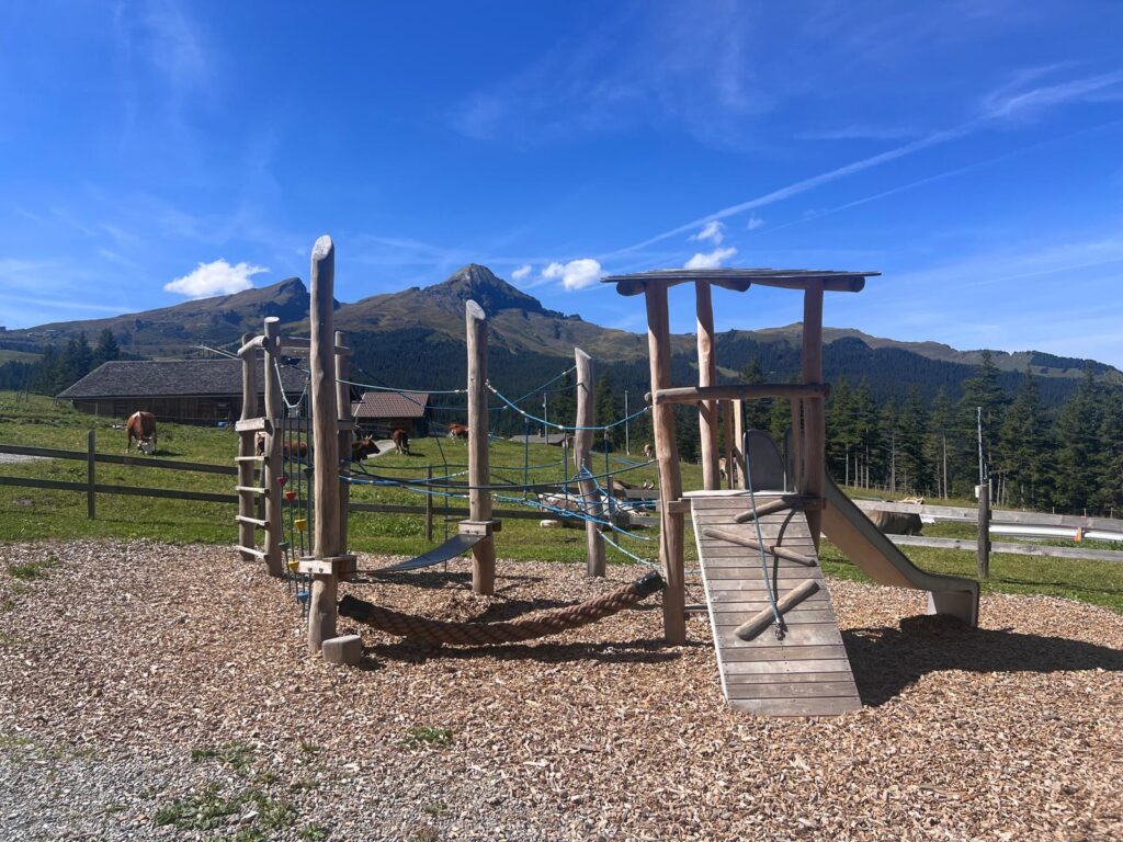
There’s also a small playground for children.
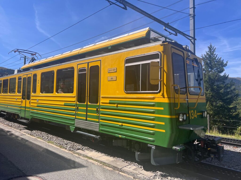
From Berghaus Alpiglen, it’s only about a 5-minute walk to Alpiglen train station. From there, you can take the train back to Grindelwald. Trains run every 30 minutes, and the journey takes around 27 minutes. A one-way ticket costs around CHF 18 and can be purchased from the ticket machine at Alpiglen station or online through SBB. For current ticket prices and connections, check the check the official Jungfrau website.
Eiger Trail Longer Route Options
Although the official Eiger Trail runs from Eigergletscher to Alpiglen, there are a couple of easy ways to extend the hike if you’d like a longer route.
Instead of starting at Eigergletscher, you can begin at Kleine Scheidegg and hike up to Eigergletscher, which takes around 1 hour, before joining the Eiger Trail towards Alpiglen.
At the other end, instead of taking the train from Alpiglen, you can continue hiking all the way down to Grindelwald. The walk from Alpiglen to Grindelwald takes around 1 hour 50 minutes.
You can also hike the Eiger Trail in the opposite direction, starting in Alpiglen and finishing at Eigergletscher. From Eigergletscher, you can then take the Eiger Express back down to Grindelwald Terminal. Keep in mind that this direction is more physically demanding, as you’ll be hiking uphill for most of the route.
Eiger Trail Map
The map below shows the Eiger Trail from Eigergletscher to Alpiglen, including the main points along the route.
Note: This map and the hiking statistics are based on my own GPS recording from the Eiger Trail hike from Eigergletscher to Alpiglen.
What to Wear and Pack for the Northface Trail
Good hiking shoes are a must for the Eiger Trail. Some parts of the trail are quite rocky and can be slippery, so shoes with good grip will make the hike much more comfortable and safer.
Dress in layers, as the temperature can change quite a bit along the trail. When I hiked the Eiger Trail in September, I spent the first part of the hike in the shade and it was quite chilly. Later, once the trail was in the sun, it became much warmer. Having an extra layer that you can easily take off is a good idea.
I’d also recommend bringing a cap or hat, sunglasses and sunscreen, especially for the sunnier sections of the trail.
Bring enough water and, if you’d like something to eat during the hike, pack a few snacks. The Eiger Trail isn’t particularly long, but there are some lovely benches with mountain views along the way where you can stop, take a break and have a snack.
If you don’t want to carry much food, you also have a couple of options along the route. Before starting the hike, you can get something at Bistro Eigergletscher near the Eigergletscher station. At the end of the trail, you can stop at Berghaus Alpiglen for a drink or something to eat.
Is the Eiger Trail Worth It?
Absolutely. Unless you’re a climber, hiking the Eiger Trail is probably one of the closest ways to experience the famous Eiger North Face. For much of the hike, you’ll be walking directly below it, and the views of the Eiger North Face, Grindelwald and the surrounding mountains are definitely worth it.
It’s also a great option if you want to hike in the Grindelwald area without spending the entire day on the trail. The hike takes around 2–3 hours, so you can easily combine it with other activities in the area.
Eiger Trail FAQ
- How long does the Eiger Trail take?
The Eiger Trail takes around 2 h 30 min. to complete.
- Is the Eiger Trail hike difficult?
The Eiger Trail in Grindelwald is considered a moderate hike. Most of the route is downhill, but some sections are rocky and can be slippery.
- Where does the Eiger Trail start?
The Eiger Trail officially starts at Eigergletscher, at around 2,348 metres above sea level, and ends at Alpiglen.
- Can you hike the Eiger Trail in both directions?
Yes, the Eiger Trail can be hiked in both directions. The easier option is to hike from Eigergletscher to Alpiglen, as most of the route is downhill. You can also start in Alpiglen and hike up to Eigergletscher, but this direction is more physically demanding because of the uphill climb.
- When is the Eiger Trail open?
The Eiger Trail is usually open from late June to mid-October, depending on snow and weather conditions. Always check the official Jungfrau website for the current trail status before your hike.
- Is there anywhere to eat along the Eiger Trail?
Yes. You can get something to eat or drink at Bistro Eigergletscher before starting the hike. At the end of the trail, you can stop at Berghaus Alpiglen for a meal, coffee or local Swiss specialities.
- Is the Eiger Trail suitable for children?
Yes, the Eiger Trail is suitable for families with children. However, some sections are rocky and can be slippery, so younger children may need assistance in certain parts of the trail.
More Hiking Inspiration
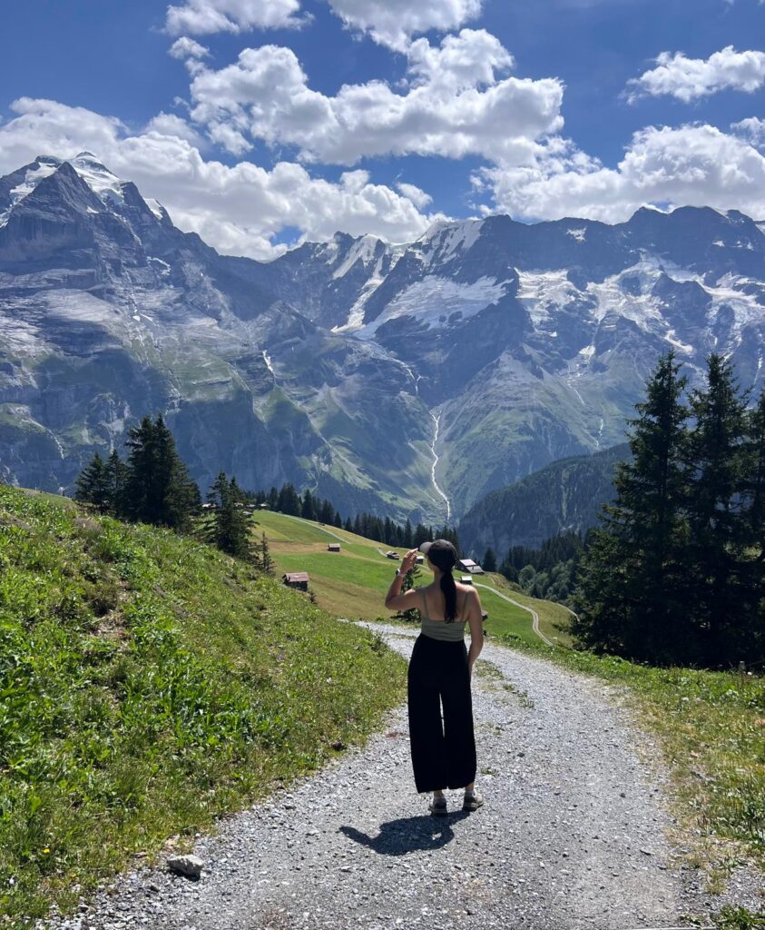
Looking for another hike in the Bernese Oberland? The beginner-friendly North Face Trail takes you through alpine meadows above Mürren, with views of the Eiger, Mönch and Jungfrau. Check out my complete North Face Trail hiking guide for everything you need to know before your hike.